| The
following maps are not included in the report in a high resolution.
High resolution maps, in eps format, can be obtained by moving your mouse
over one of the following thumbnail maps and using your right mouse shortcut
key select 'Save Target As...'
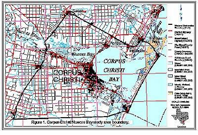
Figure 1 Corpus Christi/Nueces Bay area study boundary
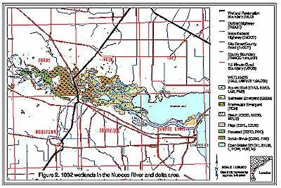
Figure 2 1992 wetlands in the Nueces River and delta area
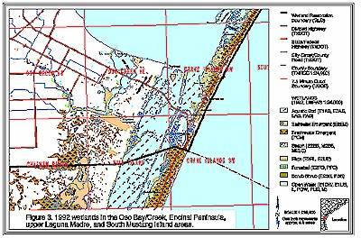
Figure 3 1992 wetlands in the Oso Bay/Creek, Encinal Penisula, upper Laguna madre, and South Mustang Island area
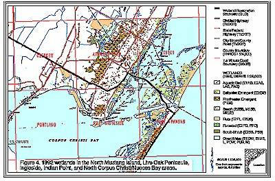
Figure 4 1992 wetlands in the North Mustang Island, Live Oak Peninsula, Ingleside, Indian Point, and North Corpus Christi/Nueces Bay areas
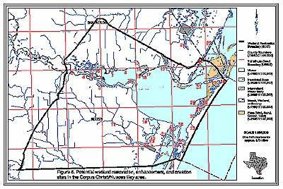
Figure 5 Potential wetland restoration, enhancement, and creation sites in the Corpus Christi/Nueces Bay area
|